

Volumetric Surveys: Stockpile and Cut/Fill Measurements Without Guesswork
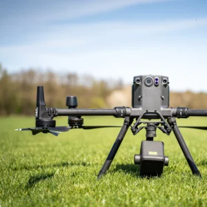
If your team is tracking material, planning earthworks, or reporting on site changes, volumetric surveys turn “we think it’s about…” into clear numbers. Across Vancouver Island—especially in construction, mining, and site development—stockpile and cut/fill measurements can support planning, budgeting, and progress reporting.
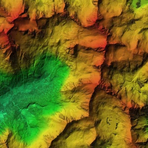
What is a volumetric survey?
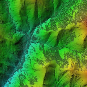
A volumetric survey uses aerial capture to calculate:
-
Stockpile volumes
-
Cut/fill differences between surfaces or time periods
-
Material changes over time
It’s especially helpful when sites are large, change quickly, or require repeatable baselines.
Common use cases (real-world)
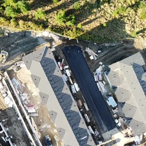
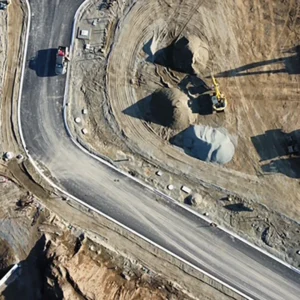
Construction and site development
-
Tracking stockpiles and material movements
-
Estimating remaining fill requirements
-
Supporting project updates and internal reporting
Mining and industrial operations
-
Repeat measurements for inventory tracking
-
Measurement summaries for internal planning cycles
Forestry and land work
-
Material staging areas and earthworks tracking
-
Baseline documentation for planning and coordination
Deliverables you can actually use
Depending on scope, you might receive:
-
Volume calculations and summary reporting
-
Supporting visuals for quick review
-
A structured dataset for your records or sharing internally
What affects the price (and what to send in your inquiry)
Pricing isn’t just “acres.” It depends on:
-
Site boundaries and access
-
The number of areas/features to measure
-
Reporting needs (simple totals vs comparisons over time)
-
Timeline and delivery requirements
If you want a fast quote, include:
-
Location (pin/address is fine)
-
Approximate site size
-
What you’re measuring (stockpiles, cut/fill, both)
-
Your deadline
Combine volumetrics with LiDAR when terrain detail matters
If your measurement needs are terrain-heavy—or vegetation and ground visibility are a factor—LiDAR outputs like DTM/DSM can be part of a stronger workflow.


