Delivering Precise Aerial Data
for Real-World Applications

Welcome to Datum Design
An aerial design company
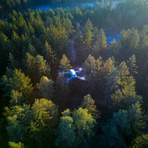
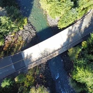
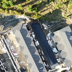
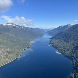
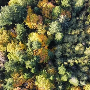
Datum Design is based in Campbell River, serving the Comox Valley and Vancouver Island. We use drone technology to capture accurate site data and turn it into practical outputs—3D models, mapping, point clouds, and measurements—so professionals can plan, evaluate, and make decisions with confidence.

Aerial data you can actually use
clean, structured deliverables
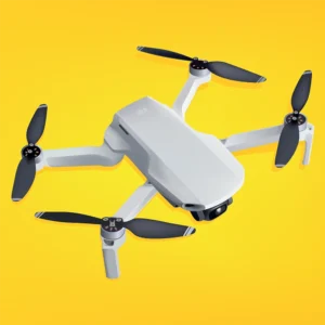
You don’t need “cool drone footage.” You need clean, structured deliverables that plug into design, planning, and reporting workflows.
-
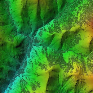
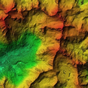
LiDAR-based point clouds and bare earth models (DTM)
-
Photogrammetry-driven 3D models and orthomosaics
-
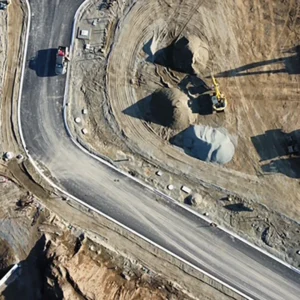
Volumetric measurements for stockpiles and cut/fill
-
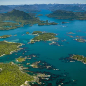
Topographic and mapping products for site planning
-
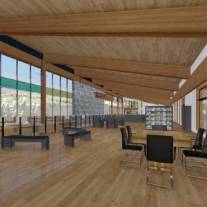
Drafting support and render-ready models (when needed)
Datum Design Services
Vancouver Island • Comox Valley • Campbell River


Compliance, safety, and coverage
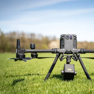
Datum Design operates with safety and compliance built in.
We are certified under Transport Canada regulations with an Advanced RPAS pilot license, and we can obtain an SFOC when operations require additional permissions. We’re also insured for commercial liability and errors & omissions.
Tell us your site location, approximate acreage, and the outputs you need—we’ll reply with clear deliverables and transparent pricing.