Drone Mapping, LiDAR, and 3D Modeling Services on Vancouver Island
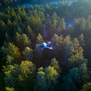
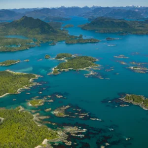
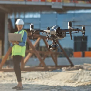
Datum Design provides aerial capture and structured deliverables for builders, forestry, mining, infrastructure, environmental work, and site development across Vancouver Island and the Comox Valley. Choose a service below, or request a quote and we’ll help match the right outputs to your use case.
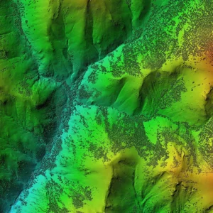
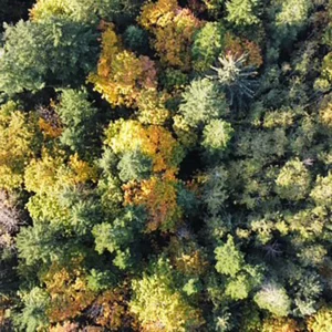
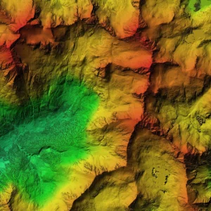
LiDAR scanning & bare earth models
-
High-intensity point clouds
-
DTM/DSM outputs
-
Vegetation and terrain analysis options
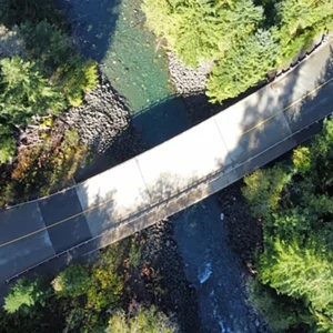
Photogrammetry & 3D modeling (reality capture)
-
Photorealistic 3D models
-
Point clouds from imagery
-
Surfaces and mesh outputs
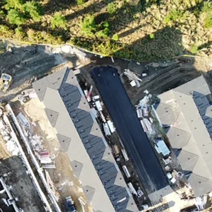
Orthomosaic mapping & topographic products
-
Orthomosaic maps
-
Topographic mapping outputs (where applicable)
-
Documentation-ready map layers
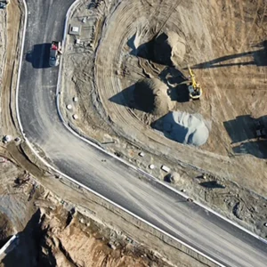
Volumetric surveys
-
Stockpile volume calculations
-
Cut/fill comparisons
-
Measurement reports for planning and tracking
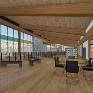
Drafting, 2D drawings & 3D rendering
-
2D drafting support tied to captured data
-
Visual render outputs for planning and presentation
Pricing and packages
OVERVIEW
-
Starting rate: $500 / acre (confirm scope/minimums in quote)
-
Delivery: structured dataset via email or USB/hard drive
Includes:
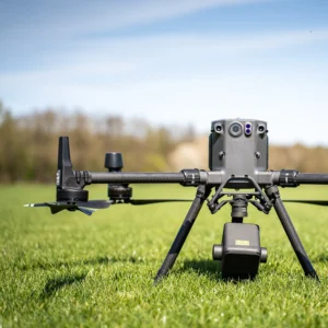
- Client consultation
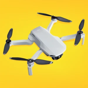
- Site visit and field time with Matrice 400 and L3
- 30% deposit upfront, 30% at review, and the remaining 40% due before final delivery
- Site mapping up to 15 acres is $400/acre. (Additional acreage billed at $500/acre.)
- 1 complementary revision after final delivery and final payment has been made.
Deliverables:
- High-intensity point cloud
- Canopy height model
- Canopy cover density metrics
- High-resolution bare earth model (DTM)
- Digital surface model (DSM)
- RTK 300-based accuracy
Includes
- Client consultation
- Site visit and field time with Matrice 400, l3, and p1
- 30% deposit upfront, 30% at review, remaining 40% due before final delivery
- Site mapping up to 15 acre $400/acre. (Additional acreage billed at $500/acre.)
- 1 complementary revision after final delivery and final payment has been made.
Deliverables:
- High density classified point cloud
- Noise removal
- High resolution bare earth modal (DTM)
- High resolution digital surface model (DSM)
If you would like more information about the various services, please select one of the services below, including custom requests.
If you would like to get started, please click the contact us button below.