Frequently Asked Questions
Quick answers to common questions about capture, deliverables, timelines, and compliance. If you don’t see your question, send a message and we’ll respond with a clear scope.
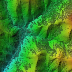
A structured dataset based on the scoped outputs (models, maps, point clouds, measurements), delivered via email or USB/hard drive.
Yes—share your preferred format during scoping and we’ll align deliverables where possible.
Turnaround depends on site size and deliverables. If you have a deadline, include it in your request and we’ll confirm feasibility.
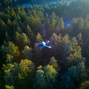
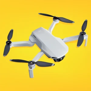
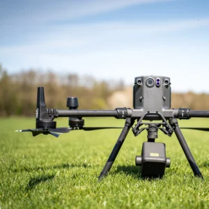
Yes—Datum Design holds an Advanced RPAS pilot license under Transport Canada regulations, and can obtain an SFOC where required.
Yes—commercial liability and errors & omissions coverage is in place.
Can't see your question? Simply use the button to email us directly.