

LiDAR vs Photogrammetry: Which Drone Data Is Right for Your Project?
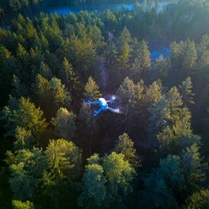
f you’re planning a build, managing a forestry block, tracking stockpiles, or documenting infrastructure on Vancouver Island, the first question isn’t “do we need a drone?” It’s what type of data do we actually need? LiDAR and photogrammetry both create powerful 3D outputs—but they solve different problems. Here’s how to choose the right tool for your project.
Quick definitions (plain English)
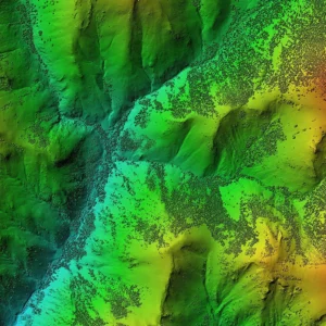
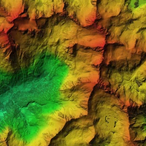
LiDAR uses laser pulses to build a 3D point cloud that’s excellent for terrain detail and “bare earth” outputs (DTM).
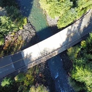
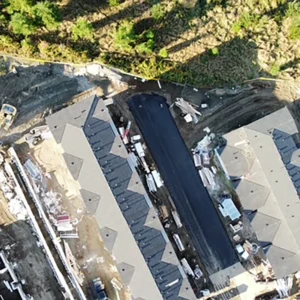
Photogrammetry uses overlapping photos to generate 3D models and maps that are often more photorealistic and visually intuitive.
When LiDAR is the better choice
LiDAR tends to be the right call when you need terrain detail, consistent geometry, and ground-focused outputs.
Best for:
-
Bare earth models (DTM) in areas with vegetation
-
Slope and bench analysis support
-
Digital terrain models and classification workflows
-
Projects where you need a strong base for measurements and planning
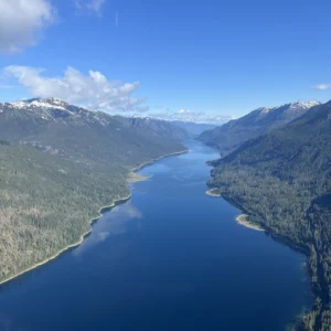
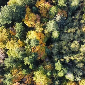
Common Vancouver Island use cases:
-
Forestry terrain modeling and canopy-related outputs
-
Road corridors, ditches, embankments, and drainage context
-
Planning support for land and site development
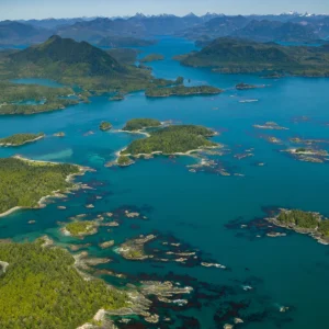
When photogrammetry is the better choice
Photogrammetry is often ideal when you want photoreal visuals and clear site context for coordination, planning, and communication.
Best for:
-
Photorealistic 3D modeling for planning and visualization
-
Orthomosaic maps for documentation and coordination
-
Progress documentation (“before/after” visuals)
-
Stakeholder-ready visuals where clarity matters
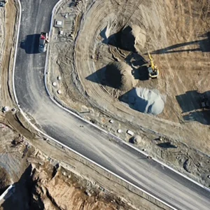
Common Comox Valley use cases:
-
Site development documentation and planning visuals
-
Infrastructure documentation (visual context + mapping)
-
Environmental reporting visuals where imagery helps communication
What about accuracy?
Accuracy depends on the workflow, site conditions, and the deliverables you need. Instead of guessing, scope the project around:
-
What decisions the data must support
-
Required outputs (DTM/DSM, volumes, orthomosaic, 3D model)
-
The area size + site accessibility
-
Timeline requirements
A simple decision guide
- If you want bare earth and terrain-first outputs → start with LiDAR.
- If you want photoreal visuals and mapping context → start with photogrammetry.
- If you want both measurement + visuals → you may benefit from a combined approach.


