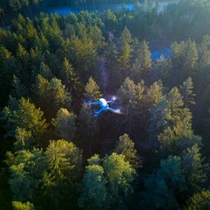
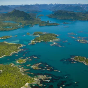
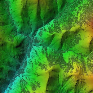
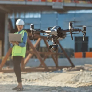
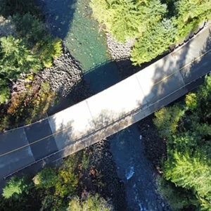
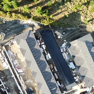
Drone Mapping, LiDAR, and 3D Modeling Services on Vancouver Island
Datum Design provides aerial capture and structured deliverables for builders, forestry, mining, infrastructure, environmental work, and site development across Vancouver Island and the Comox Valley. Choose a service below, or request a quote and we’ll help match the right outputs to your use case.
Pricing and packages
If you would like more information about the various services, please select one of the services below, including custom requests.
If you would like to get started, please click the contact us button below.