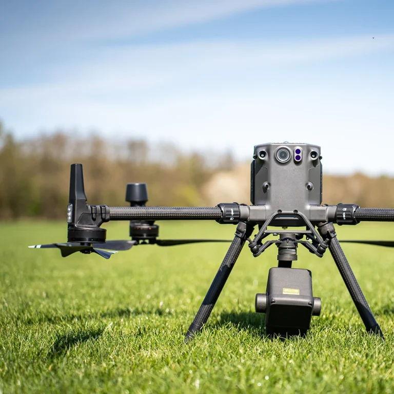
Datum Design Resources is where we publish practical articles on drone mapping, LiDAR, photogrammetry, and project deliverables. If you’re planning a site capture—or trying to understand what outputs you actually need—start here for clear explanations and real-world use cases for Vancouver Island projects.
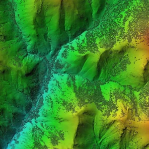
LiDAR vs Photogrammetry: Which Drone Data Is Right for Your Project?
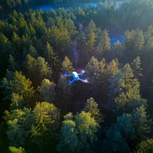
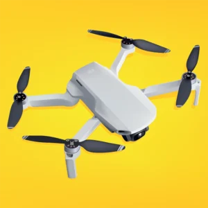
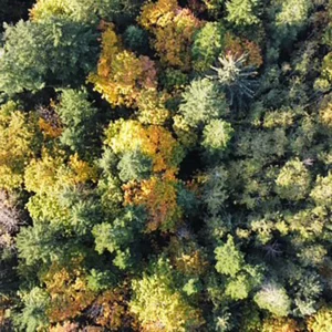
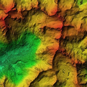
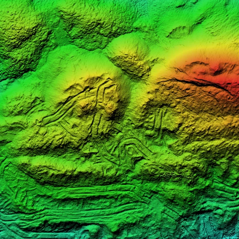
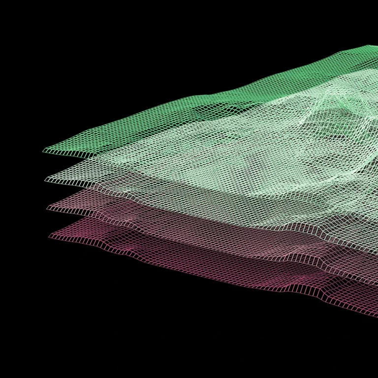
f you’re planning a build, managing a forestry block, tracking stockpiles, or documenting infrastructure on Vancouver Island, the first question isn’t “do we need a drone?” It’s what type of data do we actually need? LiDAR and photogrammetry both create powerful 3D outputs-but they solve different problems. Here’s how to choose the right tool for…
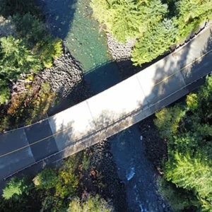
What Is an Orthomosaic Map—and Why Builders and Site Teams Use It
An orthomosaic is one of the most useful deliverables in aerial mapping because it’s simple: a high-resolution, measurable map created from drone imagery. For builders, site teams, and land development work across the Comox Valley and Vancouver Island, an orthomosaic can reduce confusion, improve coordination, and provide a clean baseline for planning. What is an…
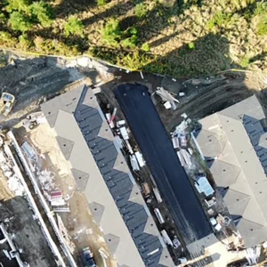
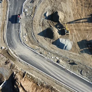
Volumetric Surveys: Stockpile and Cut/Fill Measurements Without Guesswork
If your team is tracking material, planning earthworks, or reporting on site changes, volumetric surveys turn “we think it’s about…” into clear numbers. Across Vancouver Island-especially in construction, mining, and site development-stockpile and cut/fill measurements can support planning, budgeting, and progress reporting. What is a volumetric survey? A volumetric survey uses aerial capture to calculate:…